Accessibility analyses
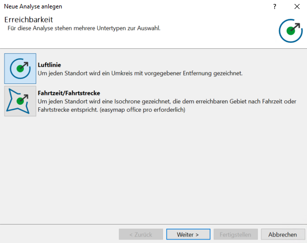
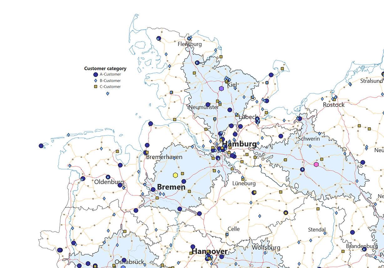
When you licence easymap office pro from us, you gain access to an additional option alongside the ‘linear distance’ accessibility type, which is enabled by default: ‘Travel time/distance’. This draws an isochrone around each location, representing the area that can be reached within a specified journey time or distance. This analysis is useful, for example, for visualising the ‘theoretical’ or ‘ideal’ catchment areas of locations and thus comparing them with the actual catchment areas or areas of responsibility.
We explain the basics of setting up an accessibility analysis here.
We explain the basics of setting up an accessibility analysis here.
Note: The available options are determined by the license you have purchased. This function is only available if you use the extensioneasymap office pro or easymap professional. For each object drawn, credits are deducted from your quota. The more data records your table contains, the more credits will be deducted.
