Territory analyses with accessibilities
With licensing the easymap pro version, you have access to further configuration options for your district analyses.
Now you can calculate your distance zones, Catchment areas or Supply Level Analyses instead of only as linear distance, also by travel times or travel distances.
This enables you to analyse and optimise your areas much more realistically.
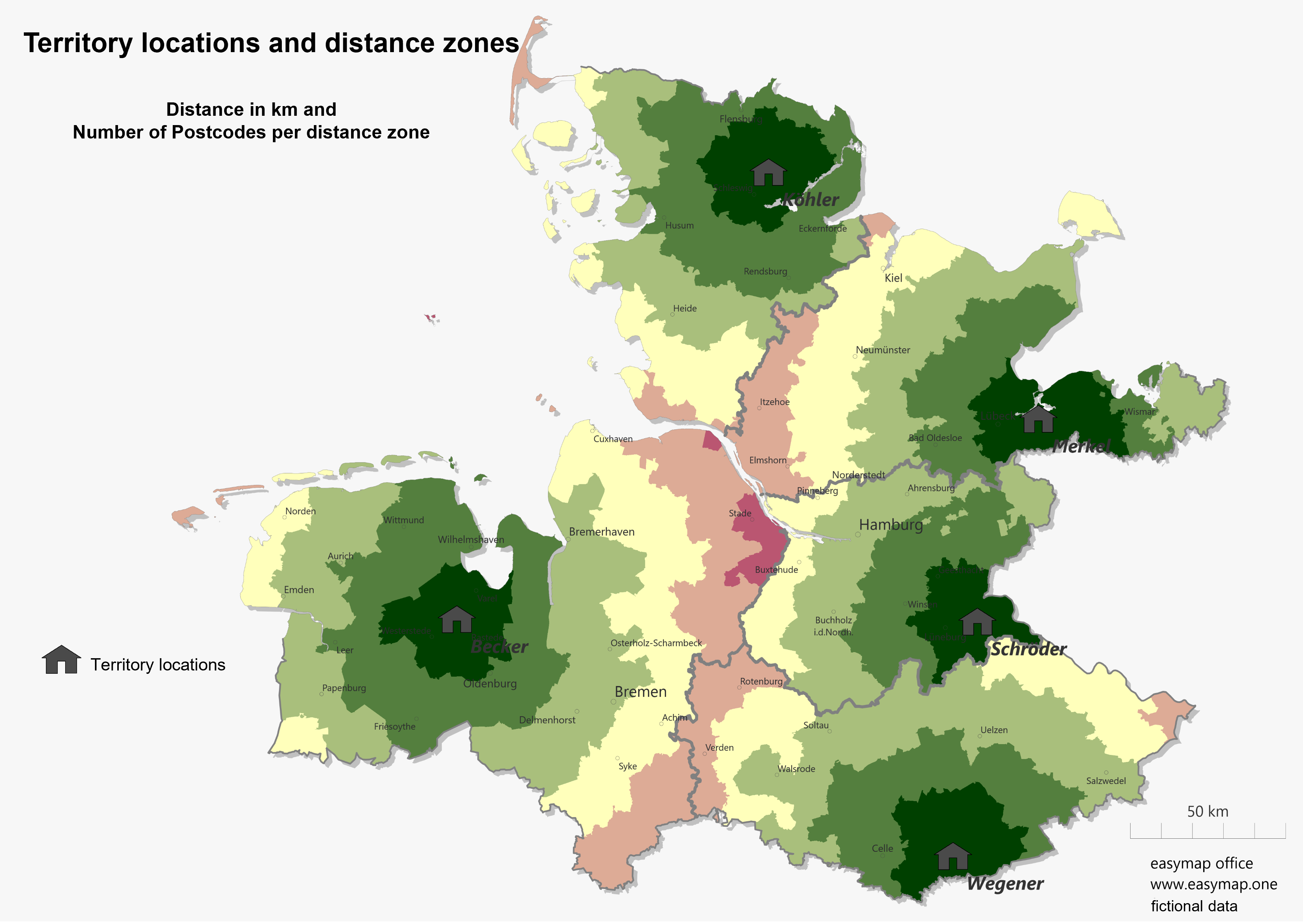
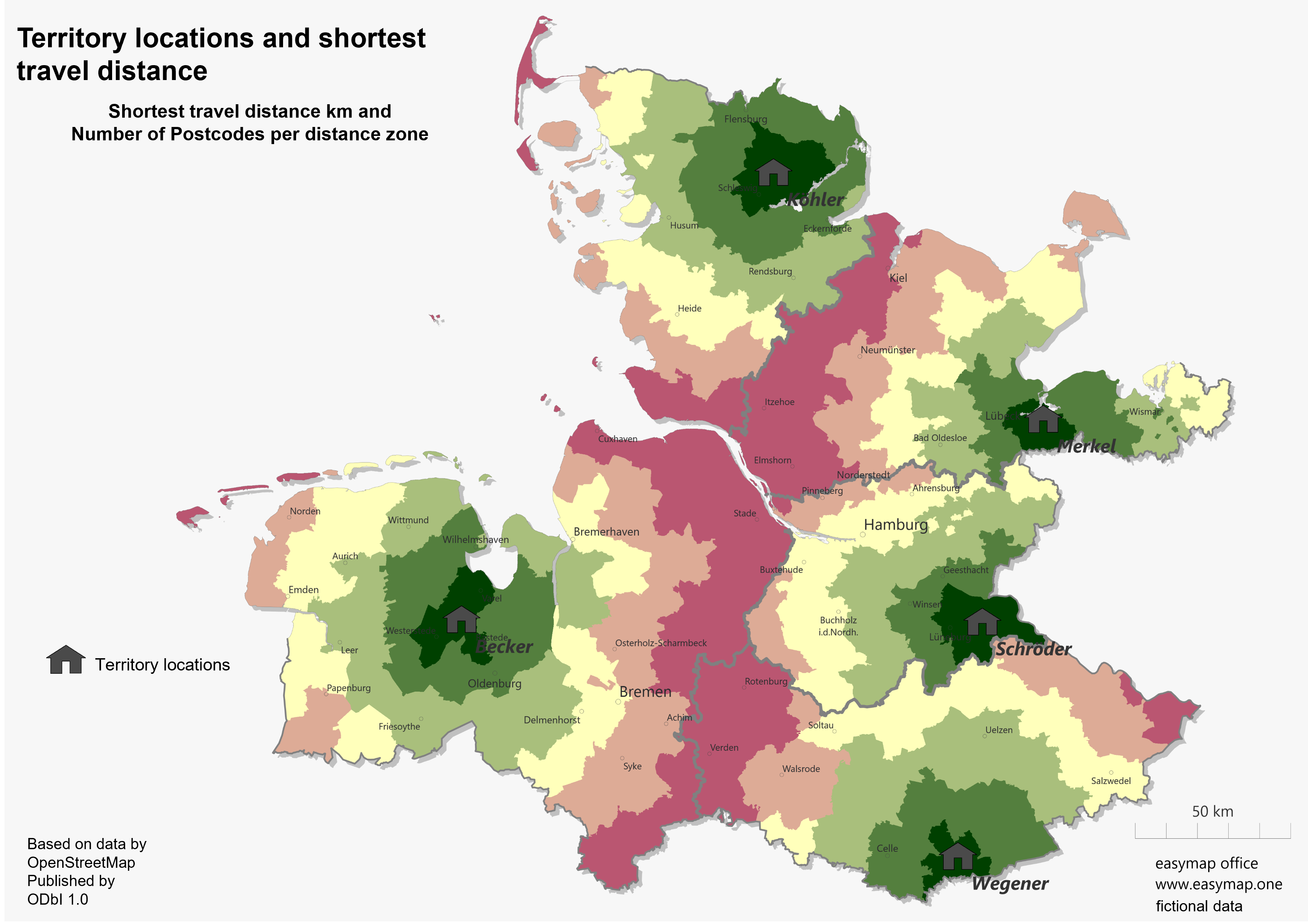
Adjust analyses to accessibility
It is not possible to initially set your analysis to travel time or travel distance when generating an analysis. Generate one of the three territory analyses. In the tab Details in the settings window of the analysis you can adjust the distance calculation.
Further information on the relevant settings can be found on the corresponding page here.
