Additional content
Additional content serves to enhance the visual presentation and improve spatial orientation. While it is not strictly necessary for the mathematical analysis of your data, it provides valuable contextual details. By displaying road networks or topographic features, the location of sites and areas can be intuitively grasped and placed within a real-world geographic context. The digital maps primarily contain only geographic information (i.e., areas, boundaries, and names).
Insert additional content
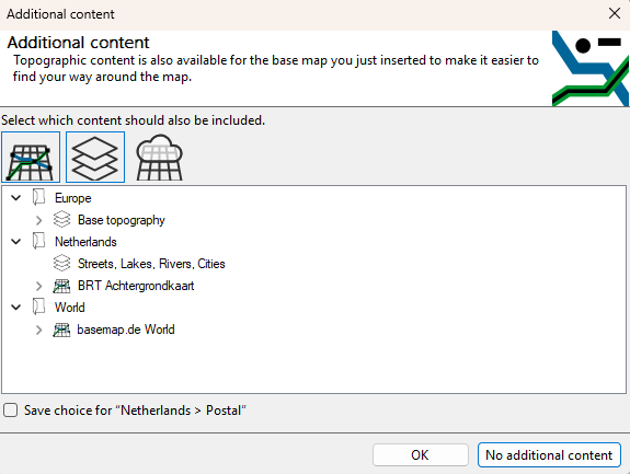
When you insert a new layer from the Map Basics control panel , you will be asked whether you also want to insert additional content for the areas you have inserted.
You can choose from the following types:
 Basic topography
-
 Vector tiles
-
 Grid tiles
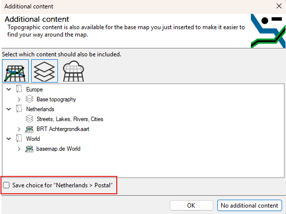
By enabling or disabling the icons, you will see a revised list of all available additional content for the spatial selection you have already made.
The content is now listed for you, sorted by extent and content. You can select the content you want and confirm with OK .
If you do not want to add any additional elements, you can close this dialog box by selecting No additional content.
All content remains available to you via the Map Basics control window, and can also be inserted from there using drag-and-drop.
Additional content: Save decision
Don't want to be constantly asked what additional content to include? You can use the checkbox in the bottom-left corner to save your selection for a map category.
These selections can be removed in the Global Settings if desired.