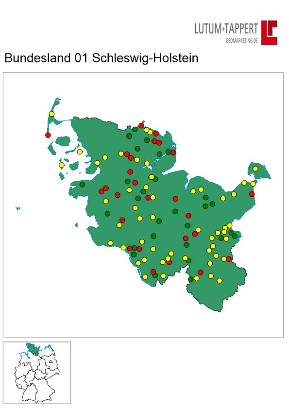
Report with inset map
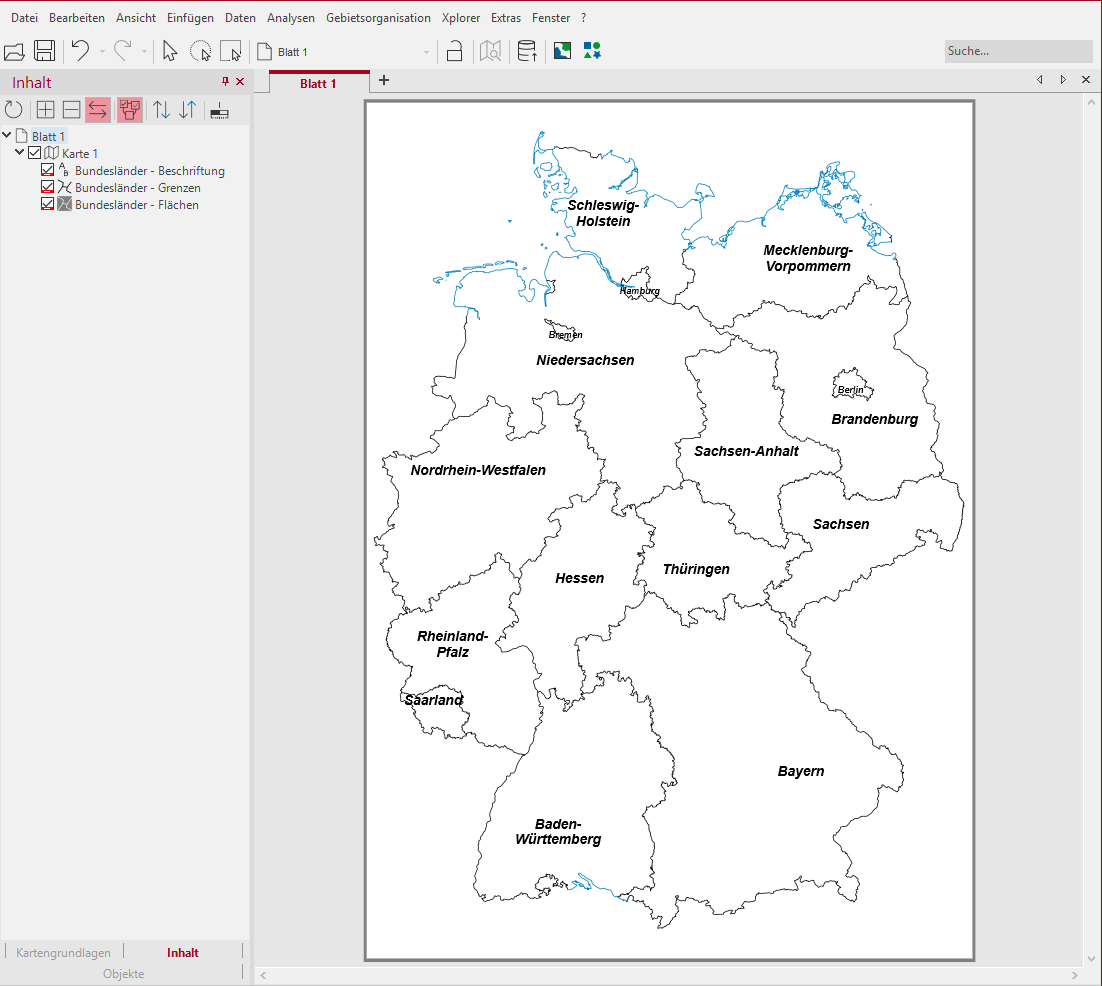
First draw only the map of the federal states on the hand. Topographic elements are not required.
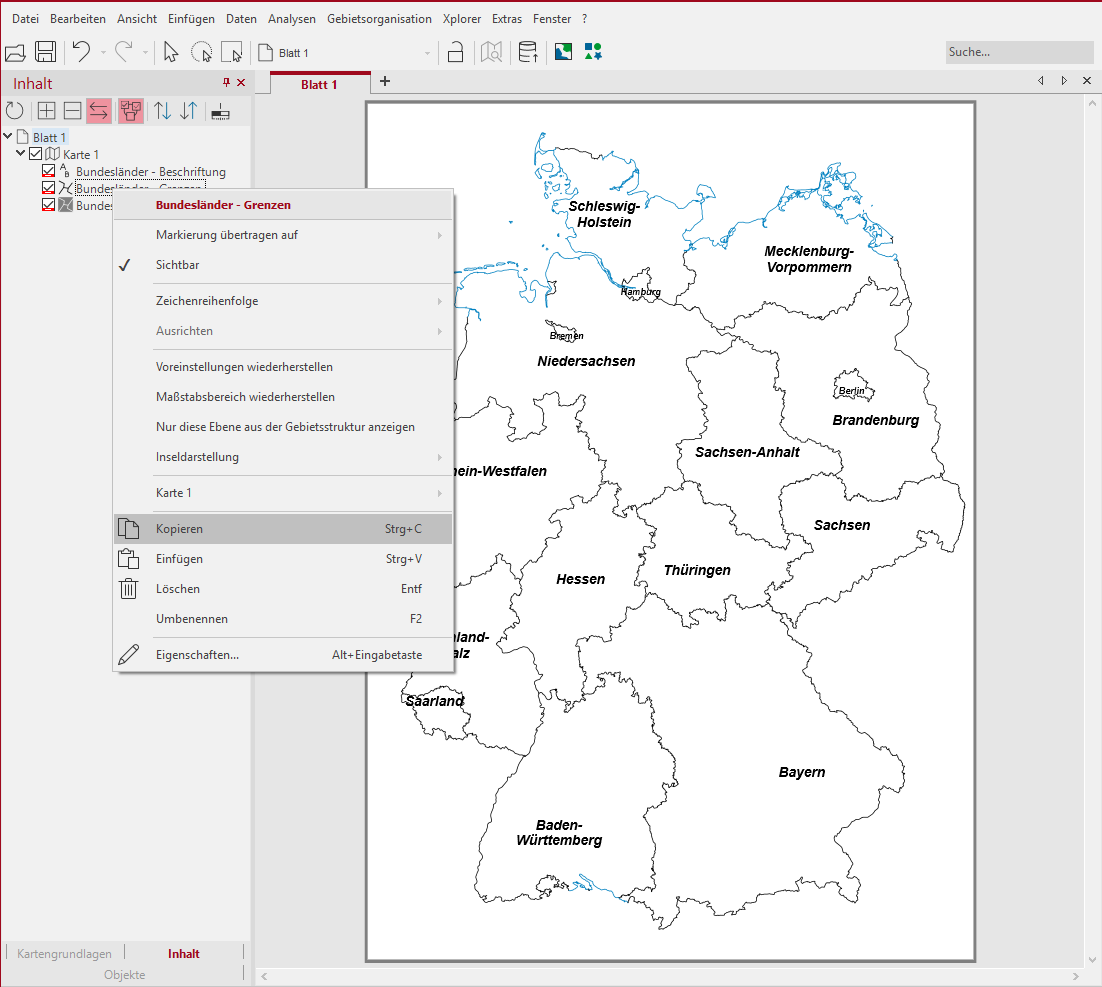
Now click on the level of the federal states - borders and copy these via the context menu of the level. The copied layer can be pasted back into the map Paste using the paste function in the map context menu. The double borders are needed for the display in the inset map.
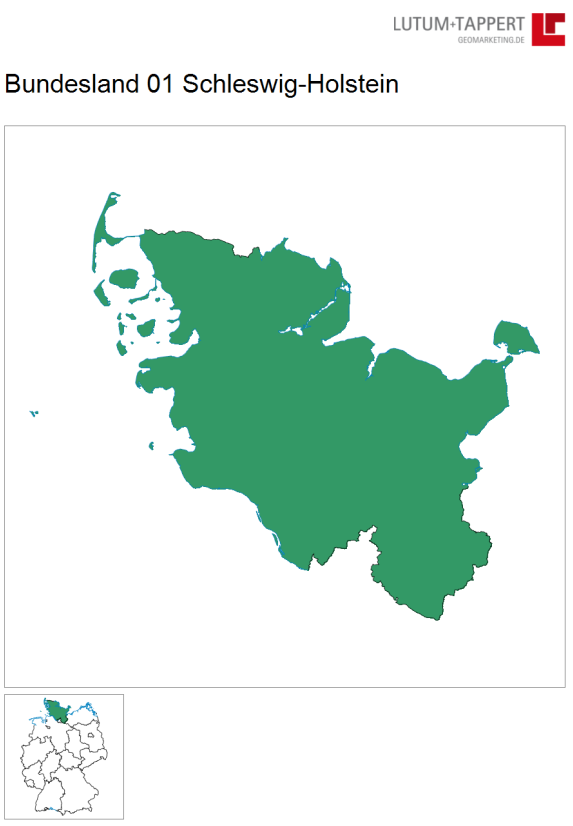
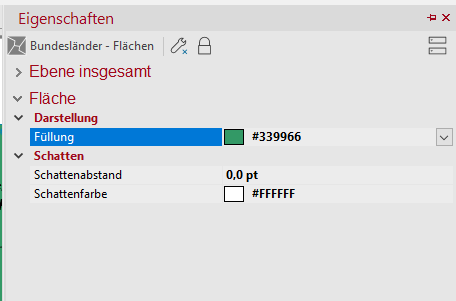
After inserting the borders, the area will be colored so that later in the inset map it will be visible where the federal state from the area report is currently located. To do this, open the properties of the level Bundesländer-Flächen and set a desired color there.
Now drag the inset map from the control window Objects onto the sheet and place it at the desired position.
It is now possible to drag and drop the area report onto the sheet and set it up. Please set the property of the environment in the part of the output details directly to Show in part.
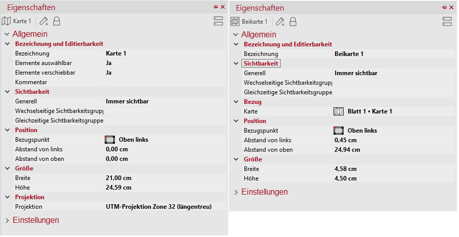
The following placements/settings were made for the map or inset map:
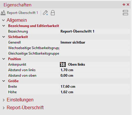
The placement of the report heading has also been adjusted.
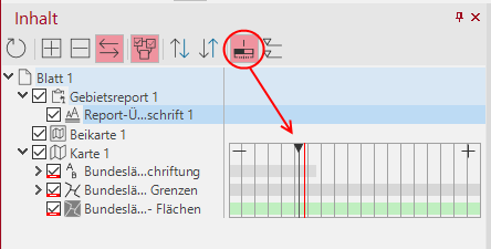
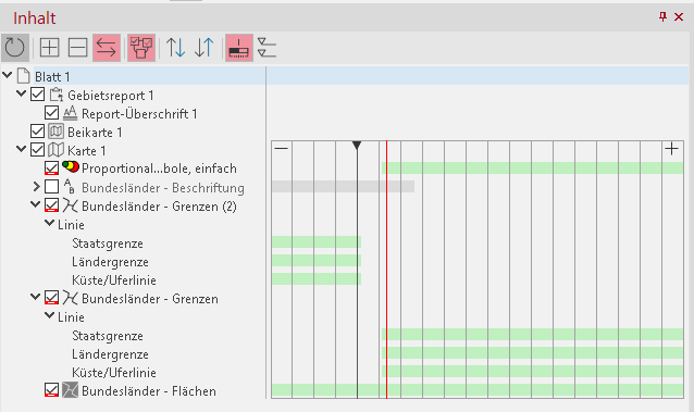
The next step is to adjust the visibility of the inset map layers in the report. For this purpose the scale ranges in the control window content are switched on first. Click on the button in the control window Content.
The following changes should be made to the area report and level settings:
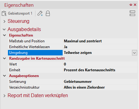
Please check whether the output details of the report display the environment as Show in part.
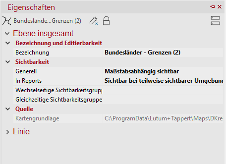
The characteristics of the copied states borders should look like this:
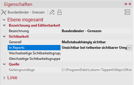
In contrast, you set all other levels with the setting In reports Invisible if surroundings are partially visible one.
In the last step two zoom levels are set. Once for the copied borders and once for the originals. Set the visibility as follows:
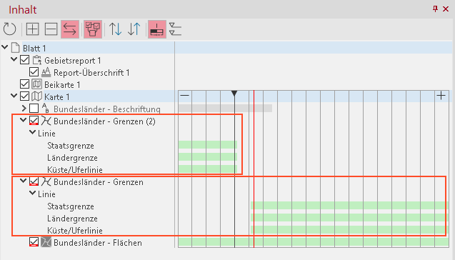
For the copied borders the visibility should end clearly before the map scale and the visibility of the originals should begin only after that.
The figure shows the map scale with the red line and the view scale above the black vertical line. As you can see, the visibility of the copied state borders is only set up to the scale of the view and the visibility of the original borders is set below the map scale. This ensures that the boundaries are only visible in the inset map, and not in the area display in the report.
If you have an analysis in your map, you can also remove it from the inset map with the same steps. Adjust the visibility of the analysis of the visibility of the borders for the federal states:
Now you get the desired area report (to be viewed via Preview in the context menu of the report) with a changing inset map.